Riverplain Ecotours Gallery forests · Meanders · Villages
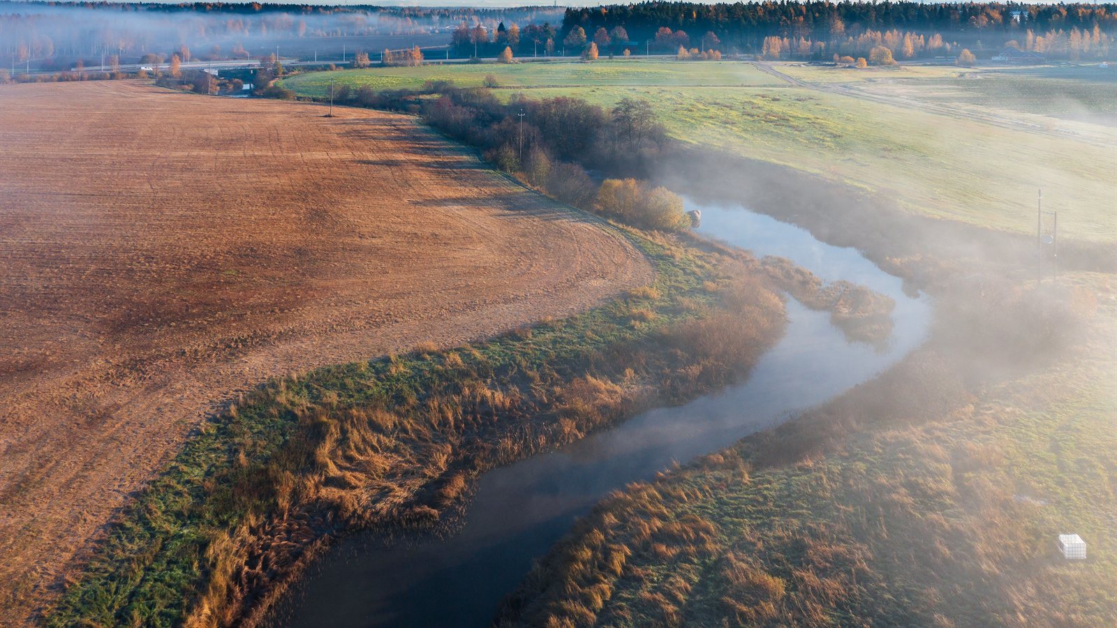
Mist rising from a meandering river between fields at dawn

Poplar shade · Oxbows · Village kitchens

Eco-Tour Routes Through the River Floodplains

The strips of gallery forest along the rivers are the greenest, coolest and most alive places in the whole region, and almost nobody walks them. We have mapped four hundred kilometres of routes through them — under poplar and ash, past oxbow lakes and irrigation channels, between villages where lunch is still served at two — and we package them as guided weeks, self-guided itineraries and single days. Accommodation, luggage transfer, route notes and honest advice about heat, water and shade are all part of the arrangement.

About us

Mapping the Green Corridors Nobody Advertises

The company began as a research project. Two geographers and a botanist were surveying the surviving gallery forests along four rivers, mostly to record how much had been lost to canalisation and irrigation, and they kept finding stretches of extraordinary quality connected by farm tracks and forgotten paths. Publishing the survey changed nothing on the ground; turning it into walkable routes that brought visitors to village bars in March did rather more, and several municipalities now maintain the paths themselves.

Everything is built on that survey work, updated every year. Routes are measured rather than estimated, water points are marked and checked, shade cover is described honestly because it decides whether a July walk is pleasant or dangerous, and every river crossing is verified after the winter floods. Where a stretch has become impassable or a landowner has withdrawn permission we remove it from the itinerary rather than hoping nobody notices.

We work with about forty small guesthouses, farms and family restaurants along the corridors, all inspected and paid within a week. Guides are from the region, several of them former farmers or foresters who know exactly why an oxbow was cut off in 1962 and what happened to the birds afterwards. A share of each booking funds the replanting of riverbank trees, and guests are welcome to join the winter planting days.

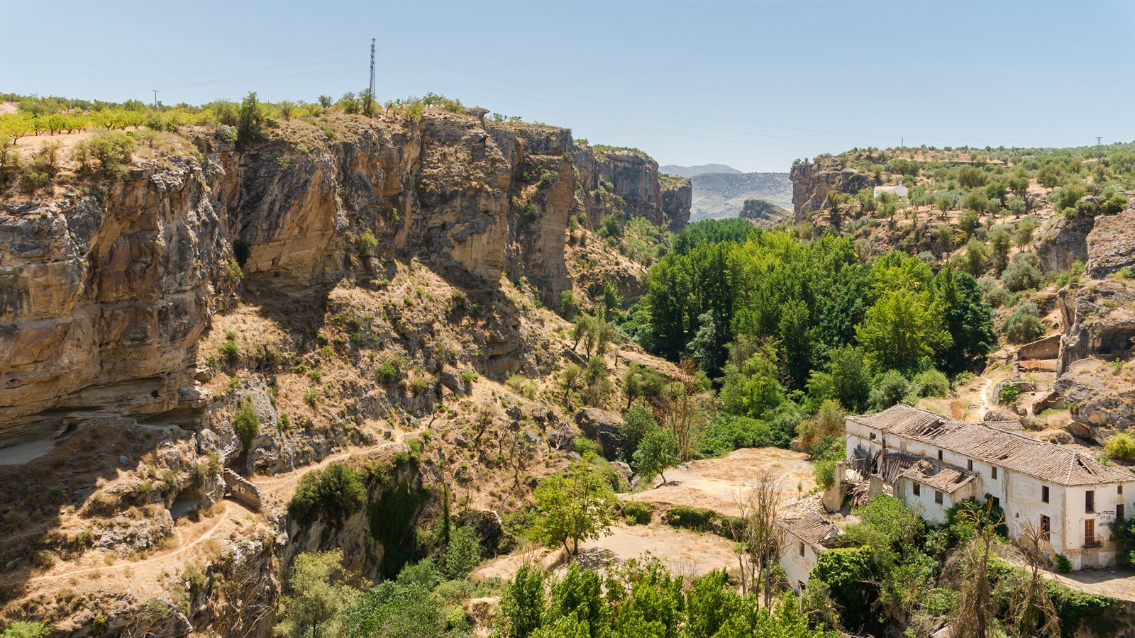
River gorge with green riparian trees below dry limestone cliffs
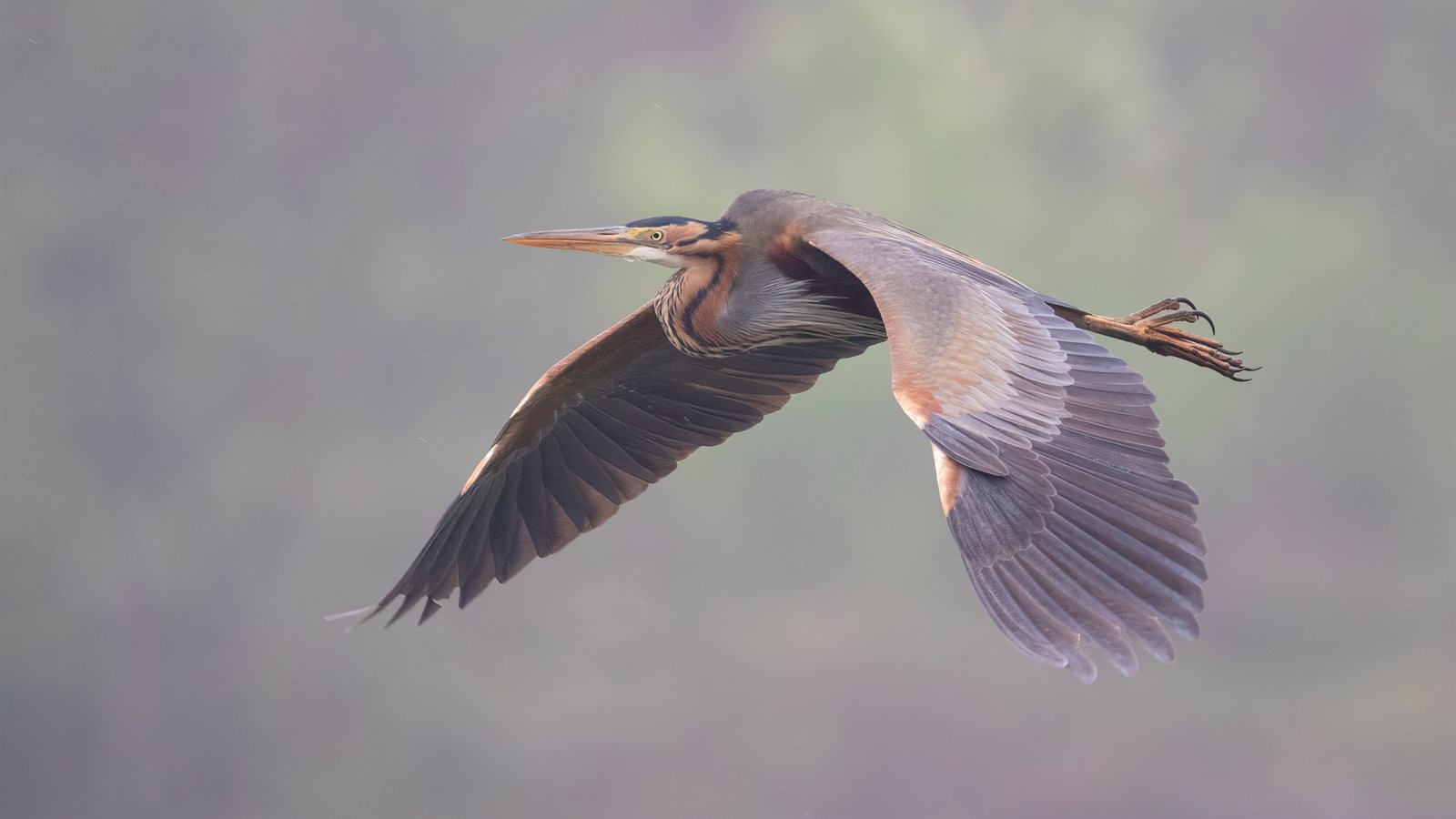
Purple heron flying low over water

Advantages

What Makes These Routes Work

Six things that turn a line on a map into a week people talk about afterwards.

Shade Where the Region Has None

Away from the rivers this landscape is open, dry and brutal in summer. Under the gallery forest it is ten degrees cooler, the ground stays soft, and there is water within reach for most of the day. That single fact makes walking possible from March to November rather than only in spring, and it is why our itineraries follow the riverbank even when a direct route would be shorter. Route notes state exactly where the canopy breaks, how long the exposed section lasts and where the next drinkable water is.

Wildlife Concentrated in a Narrow Band

Because the surrounding country is farmed intensively, almost everything alive is compressed into the river corridor: otters, genets, wild boar, bee-eaters, orioles, kingfishers, purple herons, terrapins and, in the oxbows, amphibians in extraordinary numbers. Walking a floodplain in May is closer to a wildlife safari than to a country stroll. Guides carry binoculars and a telescope, know the nest sites and the feeding times, and keep groups small enough not to empty a stretch of water before anyone has seen anything.

Routes Verified Every Spring

Floodplains rearrange themselves. Winter floods drop trees across paths, wash out fords, move gravel and occasionally take a footbridge downstream. Every kilometre we sell is walked by our own staff after the flood season, distances are measured, obstacles are recorded and the notes are reprinted before anyone else uses them. Changes during the season are published within a day, and anybody with a booking on that stage is contacted directly with an alternative rather than left to discover the problem at a broken bridge.

Villages That Are Still Alive

Stages are planned to finish where there is a bar, a shop and somebody to cook, which sounds obvious and is not how most long-distance routes are designed. The forty places we work with are family businesses in villages of a few hundred people, and a walker arriving in March is genuinely welcome. Menus are whatever is cooked that day rather than a tourist card, prices are local, and the guesthouse owner will usually sit down with a map and explain the next stage better than we can.

Logistics Handled Completely

Luggage moves between guesthouses each morning, transfers connect the route to the nearest station, a support number is answered from seven until nine every day of the season, and any stage can be shortened by vehicle without embarrassment. Bookings are confirmed in your name with deposits paid and dietary needs passed on. For self-guided walkers we provide printed and digital notes, a tracked route file, an emergency card in Spanish and a list of the taxis that actually answer.

Tourism That Pays for Trees

A fixed share of every booking goes into riverbank replanting, carried out each winter with the municipalities and a river association: poplars, ash, willow and elm on stretches where the bank has been stripped. Guests may join the planting days, and we publish the number of trees, the survival rate and the money spent every year. Several kilometres of corridor that were bare gravel when the survey began are now closing canopy, which is the only argument for this kind of tourism that actually matters.
Services

What We Offer

Guided weeks, self-guided routes, single days, cycling versions, school programmes and custom itineraries.

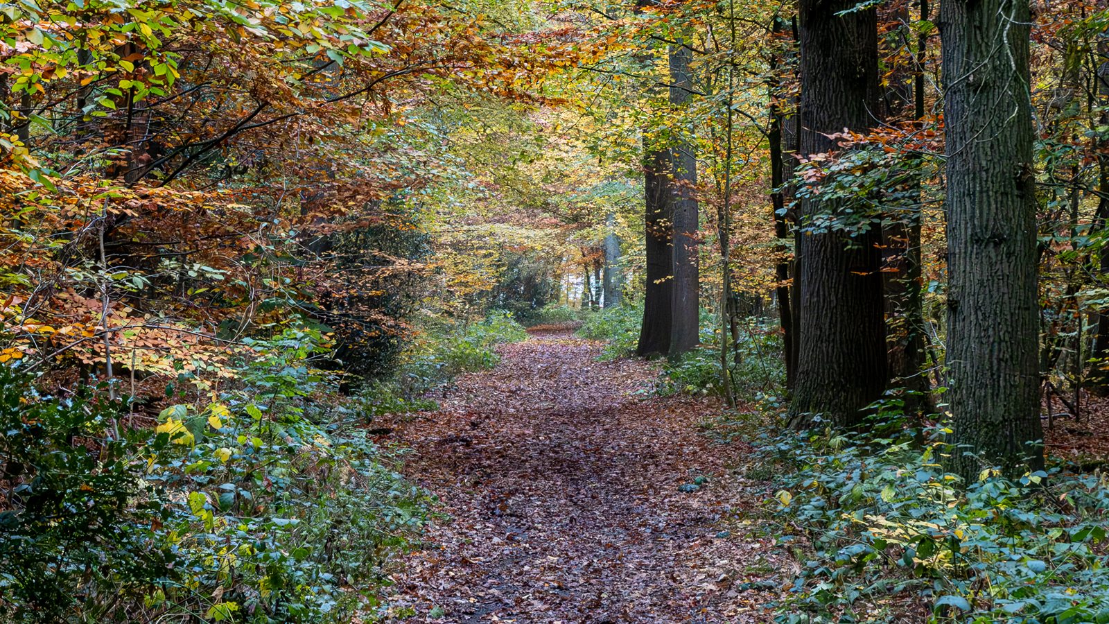
Path leading into a shaded deciduous forest

Guided Walking Weeks

Seven-day journeys along one river corridor with a guide throughout, walking twelve to twenty kilometres a day between villages, with luggage moved and every meal arranged. Guides cover the ecology, the history of irrigation and drainage, the birds and the villages themselves. Groups are capped at ten, departures run from March to June and again from September to November, and each week includes one rest day with an optional shorter loop for those who want it.

Self-Guided Itineraries

The same corridors walked at your own pace, from three to twelve nights, with accommodation booked, luggage transferred and a full route pack containing measured notes, maps, a tracked file, water points, shade information, wildlife notes and the numbers of everyone you might need. Stages can be lengthened or shortened at booking, rest days inserted anywhere, and the support line answers throughout. This is our most popular product by a considerable margin.

Day Walks and Weekends

Circular and linear day routes of eight to twenty-two kilometres, each starting where a car or a bus can reach and finishing where lunch is available, with a printed card and a recommended time of year. Weekend packages add a night in a village guesthouse and a guided morning focused on birds, botany or the history of the water system. A shuttle runs at weekends so that linear routes can be walked one way and returned by minibus.

Cycling the Corridors

Most of the network is rideable on a gravel or hybrid bike, and we run the same itineraries at forty to seventy kilometres a day with bikes provided, including electric models, child seats and trailers. Route notes mark the sections where a bike must be pushed, the fords that are rideable and the two stretches that require a short road link. Bikes are delivered to the first guesthouse and collected from the last, and a mechanic can reach most of the network within an hour.

Schools, Universities and Groups

Field programmes on river ecology, hydrology, irrigation history and biodiversity for schools and university courses, with sampling equipment, identification sheets, risk assessments and accommodation arranged. Natural history societies and walking clubs can book a private guide and a tailored route, and we regularly host groups studying the region's water management. Materials are prepared in Spanish and English, and lecturers are welcome to lead their own sessions with our logistical support.

Custom Itineraries and Photography

Routes built around a specific interest — a species, a season, a particular stretch of forest, a family with young children or somebody who wants short days and long lunches. Photographers can book dawn and dusk access with a guide who knows where the light lands and where the hides are, and we arrange permissions for restricted stretches. Custom trips are quoted as a fixed price including guiding, accommodation, transfers and meals, with nothing added afterwards.

Contacts

Plan a Route

Tell us when you can travel, how far you would like to walk or ride each day and what interests you most. We will propose an itinerary with distances, shade and accommodation, and tell you honestly which weeks are too hot for the stage you had in mind.

Group bookings, school programmes, photography trips and planting days are arranged through the same office.

OfficeCalle de Alcalá 42, 28014 Madrid, Spain
Phone+34 91 522 76 40
SeasonMarch–November; office and support line daily 07:00–21:00